A Road Built Through a Park That Was Assembled Around It
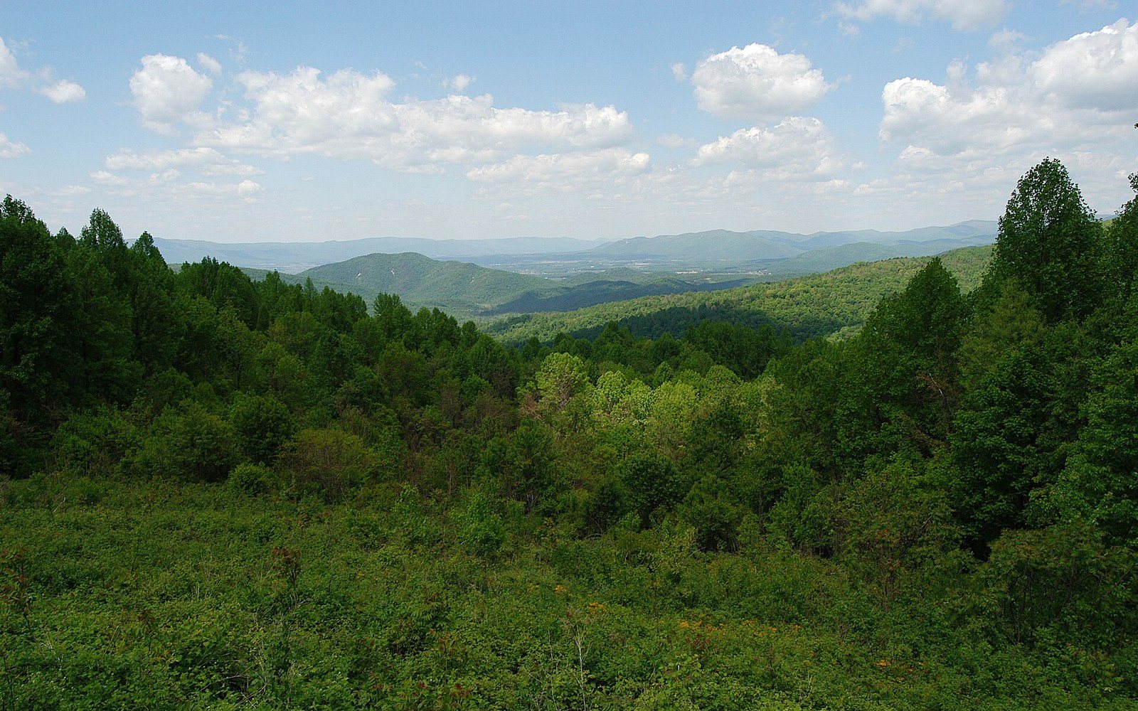
Almost everything visible from the road is second growth. The park was assembled from farms, not from wilderness.
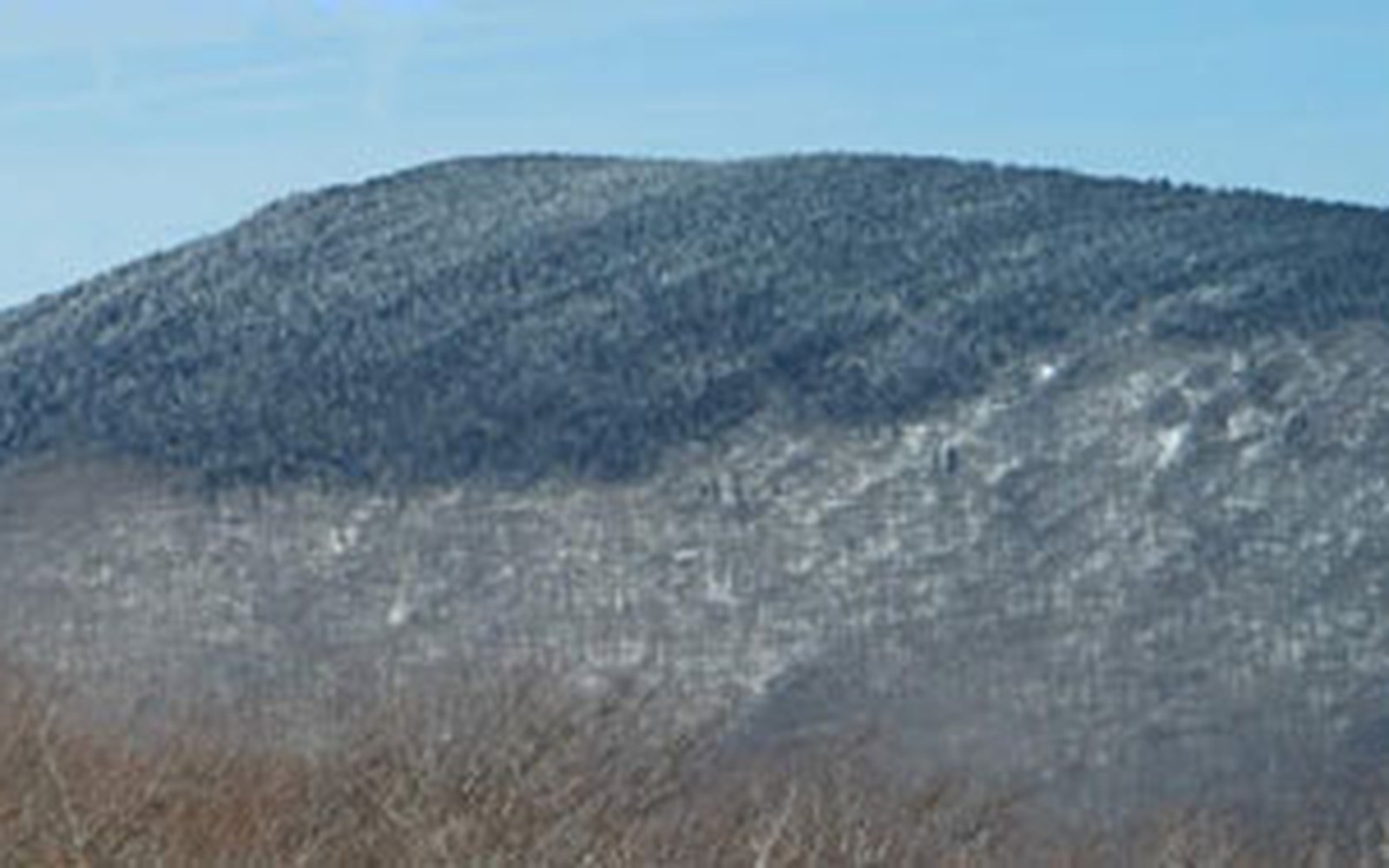
Photo: 2005-05-21 14-30-58 Eaton Hollow Overlook from Skyline Dr Shenandoah National Park VA · Wikimedia Commons
Skyline Drive came first; the park grew around its line
When most national parks were created, a road was built later to let people in. Shenandoah worked the other way around. Skyline Drive was conceived before the park was fully a park, surveyed as a scenic ridgeline route in the late 1920s, and the land that would eventually become Shenandoah National Park was assembled around its proposed alignment. The road is not infrastructure added to a wilderness. It is the spine from which the whole thing was organised.
That sequence matters if you want to understand what you are walking in. Shenandoah's roughly 200,000 acres were not set aside intact from some prior wild state. They were assembled, parcel by parcel and in some cases family by family, from land that had been farmed, logged, and settled for well over a century. The Commonwealth of Virginia acquired the land and transferred it to the federal government — an eastern national park assembled that way, through state-directed land acquisition rather than from an existing federal estate. By the time President Franklin D. Roosevelt dedicated the park in July 1936, the Drive was already open for much of its length, and the landscape around it was already regenerating from agricultural and timbered land into what visitors now receive as forest.
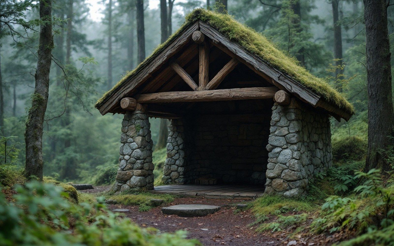
Built 1930s.
What the Drive is and what it crosses
Skyline Drive runs 105 miles along the crest of the Blue Ridge from Front Royal in the north to Rockfish Gap in the south, where it meets the Blue Ridge Parkway and continues the ridgeline logic southwestward toward North Carolina. The highest point on the Drive is near Stony Man Mountain at roughly 3,680 feet, though the road itself rarely dips below 2,500 feet for long stretches. That consistent elevation is its defining characteristic: you are driving across the top of a physiographic province, the Blue Ridge, where the old hard rocks — primarily Catoctin greenstone and Precambrian basement — have resisted erosion long enough to hold the ridge above the valleys on both sides.
Chronology
Late 1920sSkyline Drive alignment surveyed before park was established
July 1936President Roosevelt formally dedicates Shenandoah National Park
1933–1942CCC camps active in and around the park
Early 20th centuryAmerican chestnut blight eliminates mature chestnuts across the range
1979Death of Annie Shenk, last life-right resident in the park
The 75 overlooks are spaced to face alternately east toward the Piedmont and west toward the Shenandoah Valley, which means in a single slow drive you pass repeatedly between two utterly different geographies. To the east, the land softens and broadens toward tidewater. To the west, the Valley floor is limestone, the soil better, the farms older and still active, the topography of a different kind entirely. The ridge between them was never the richest farmland, which is one reason the land acquisition effort found what it found here: marginal farms, exhausted chestnut stands — the American chestnut blight had swept through in the early decades of the century — and cutover timber.
The Civilian Conservation Corps and the shape of the park visitors see
If the Drive gave the park its spine, it was the Civilian Conservation Corps that built its body. Between 1933 and 1942, CCC camps in and around Shenandoah constructed the trails, shelters, waysides, picnic areas, and stonework that still organise a visitor's experience of the park. The low stone walls along the Drive's edges, the carefully graded approach to each overlook, the Appalachian Trail shelters within the park's boundaries — all of it is CCC work. At peak activity, the park had more than a dozen active camps, and the labor they contributed shaped the landscape at a density that later park construction never matched.
The Appalachian Trail runs through Shenandoah for about 101 miles, often crossing or briefly following the Drive before moving back into the trees. The two — the Drive and the Trail — are not the same experience, but they share terrain, and the park's design accommodated both from early on. Hikers crossing the ridgeline meet the road; drivers stopping at overlooks meet the trailheads. It is a deliberate overlap that was built into the original plan.
A substantial bear population sits within an hour of one of the most densely settled stretches of the coast.
Forest, recovery, and what "natural" means here
The forest that now covers roughly 95 percent of the park is almost entirely second-growth, and much of it is not old. The Virginia Department of Wildlife Resources and the National Park Service have documented the steady return of wildlife as canopy closed over old fields and orchards in the mid-twentieth century — white-tailed deer, black bear, and wild turkey came back without reintroduction, simply because the habitat reconstituted itself. Bald eagles now nest within the park again. Peregrine falcons, extirpated from Virginia's cliffs by pesticide collapse, were reintroduced to Shenandoah's rocky faces and have established breeding pairs.
Brook trout, the only native salmonid in Virginia's cold headwater streams, persist in a number of the park's upper drainages — cold enough because the elevation and the riparian canopy keep them so. Their presence is a water-quality signal; where they survive, the streams are still functioning close to their natural state. Where they have been displaced by introduced brown or rainbow trout, or pushed upslope by warming, the story is different.
What the forest does not contain is the American chestnut that once dominated it. The American chestnut blight, caused by Cryphonectria parasitica, a fungus introduced from Asia in the early twentieth century, killed mature chestnuts across the entire Appalachian range. The stumps in Shenandoah still send up sprouts — the root systems survive — but they die as saplings before they can reproduce. The canopy that closed over the park's recovering fields is oak and hickory and tulip poplar, not the chestnut forest that the first European settlers found here.
What the landscape holds
105-mile length of Skyline Drive, Front Royal to Rockfish Gap
Highest Drive elevation near Stony Man Mountain, roughly 3,680 feet
~101 miles of the Appalachian Trail within the park
~95 percent second-growth forest coverage
400–500 families displaced during land acquisition (estimates vary)
The displacement that built the park
Any honest account of Shenandoah's assembly has to hold the other side of it. Roughly 400 to 500 families — estimates vary, and the historical record is uneven — were removed from the land that became the park, some by purchase and negotiation, some by condemnation, a number of them elderly people who had lived their whole lives on the ridge. The mountain communities they left — Corbin Hollow, Weakley Hollow, Nicholson Hollow, and others — are documented in the Library of Congress's records of the Federal Writers' Project surveys from the period. A few life-rights were granted, allowing elderly residents to remain until death. The last of those residents, Annie Shenk, died in 1979.
The homesite remnants are still there, scattered through the forest — foundation stones, chimney stubs, old apple trees in clearings that have not yet entirely closed. They are among the most instructive things in the park, not as ruins but as evidence of what "wilderness" cost in this particular place, at this particular moment in American land policy. The park was built. The road was laid first. The forest came back. The people did not.
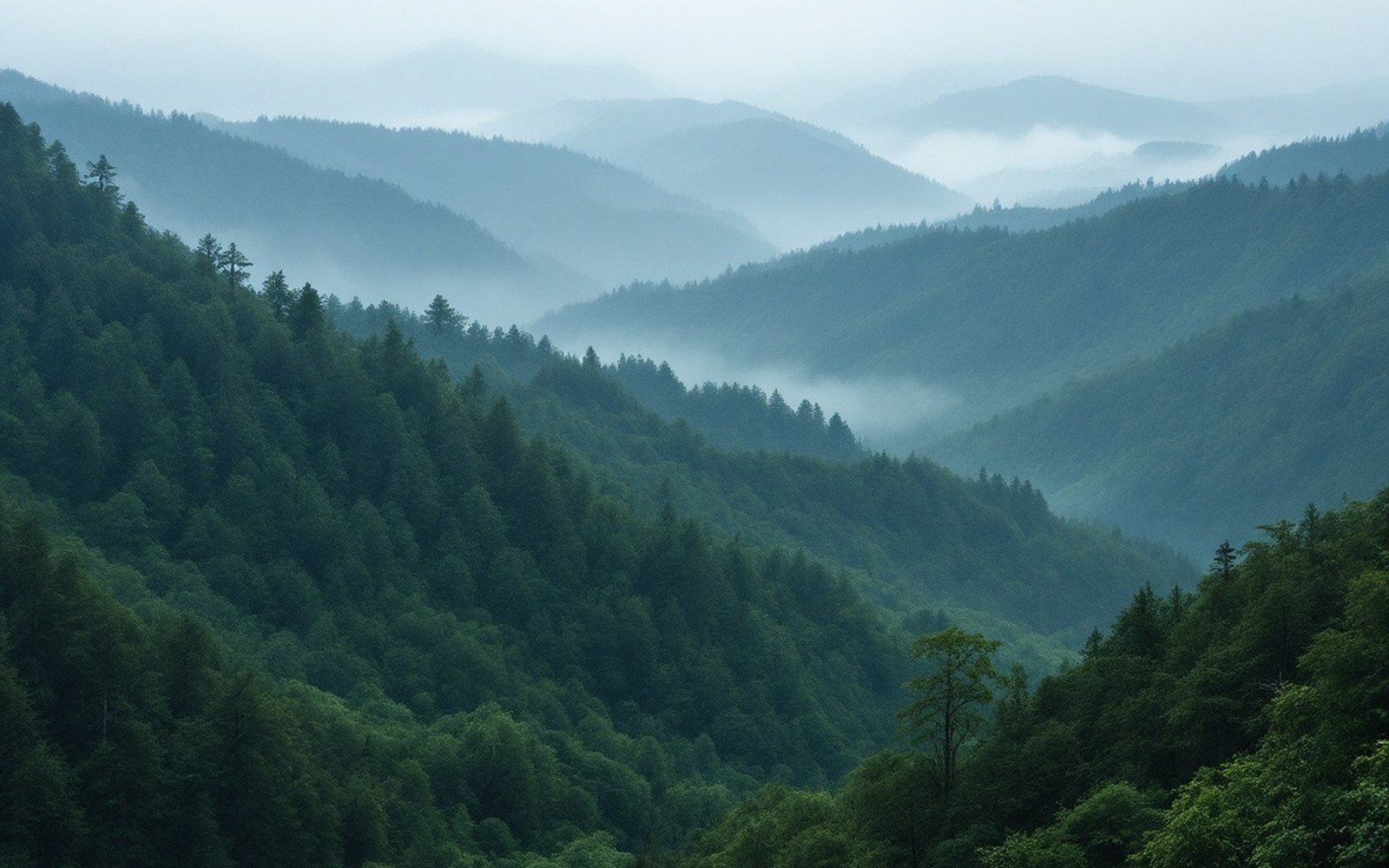
Ridge behind ridge, and every line a different air temperature. Elevation is what sorts the animals in this state.