Barrier islands migrate landward. Anything fixed on one is on a schedule, whether it was designed that way or not.
The islands themselves are in motion
The barrier islands strung along Virginia's Eastern Shore are not fixed geography. They are sand — loose, wind-sorted, wave-rearranged — and they move. The process is called overwash: storm surf carries sediment from the ocean-facing beach up and over the island's spine, depositing it on the lagoon side. The island does not wash away; it migrates, rolling landward at a pace measured in feet per decade or in catastrophic jumps during a single hurricane. Spend an afternoon with historical charts of the Virginia coast and the motion becomes legible — inlets that opened and closed, spits that lengthened and vanished, islands that split or merged within living memory.
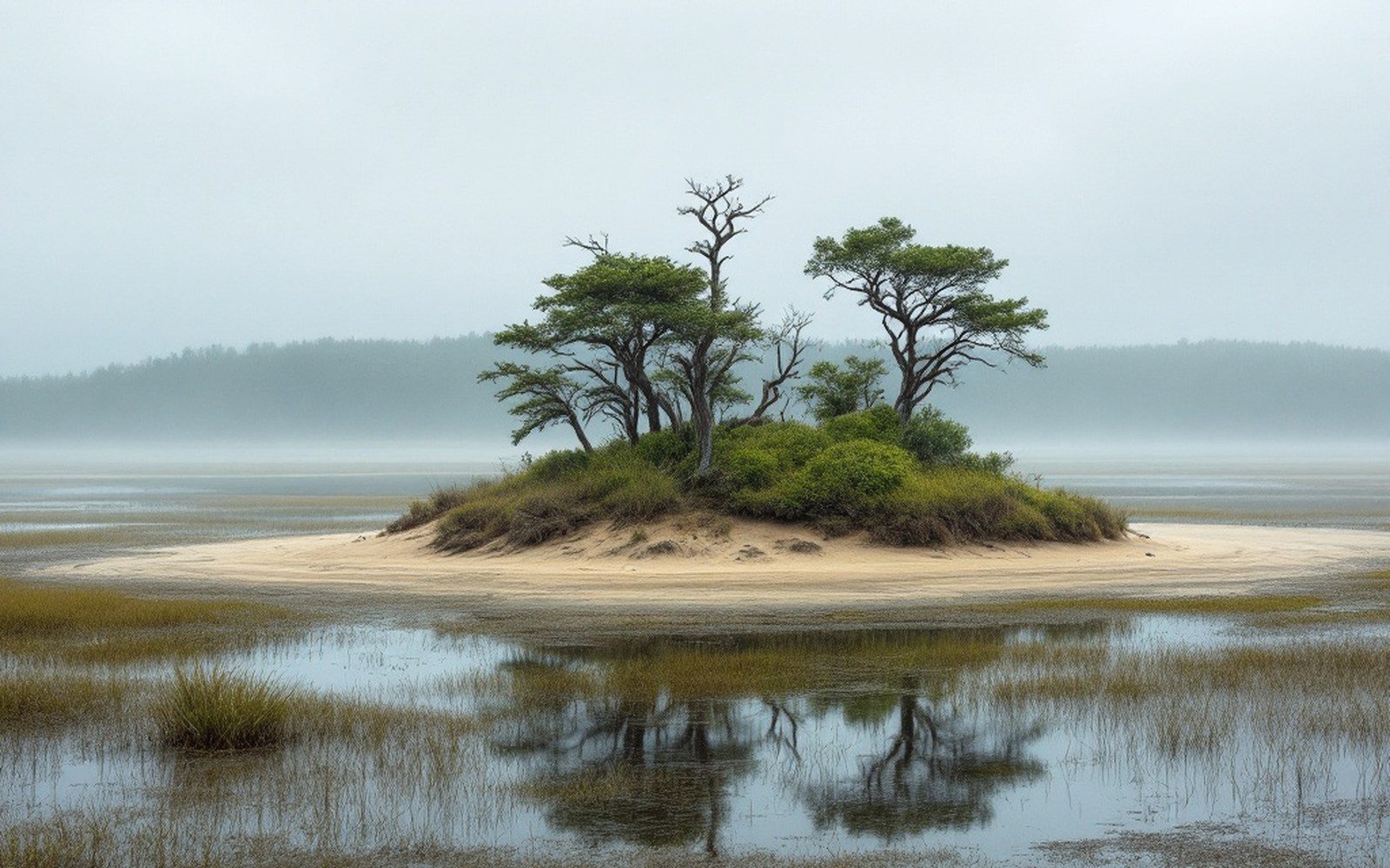
This is the basic fact that governs everything else about the fourteen uninhabited islands that make up the Virginia Coast Reserve, managed by the Nature Conservancy since 1969. No road survives here for long. No seawall makes engineering sense. What the barrier island system offers instead is precisely this: a dynamic shoreline that does what barrier islands are supposed to do — absorb energy, migrate, and renew itself — without concrete pinning it in place.
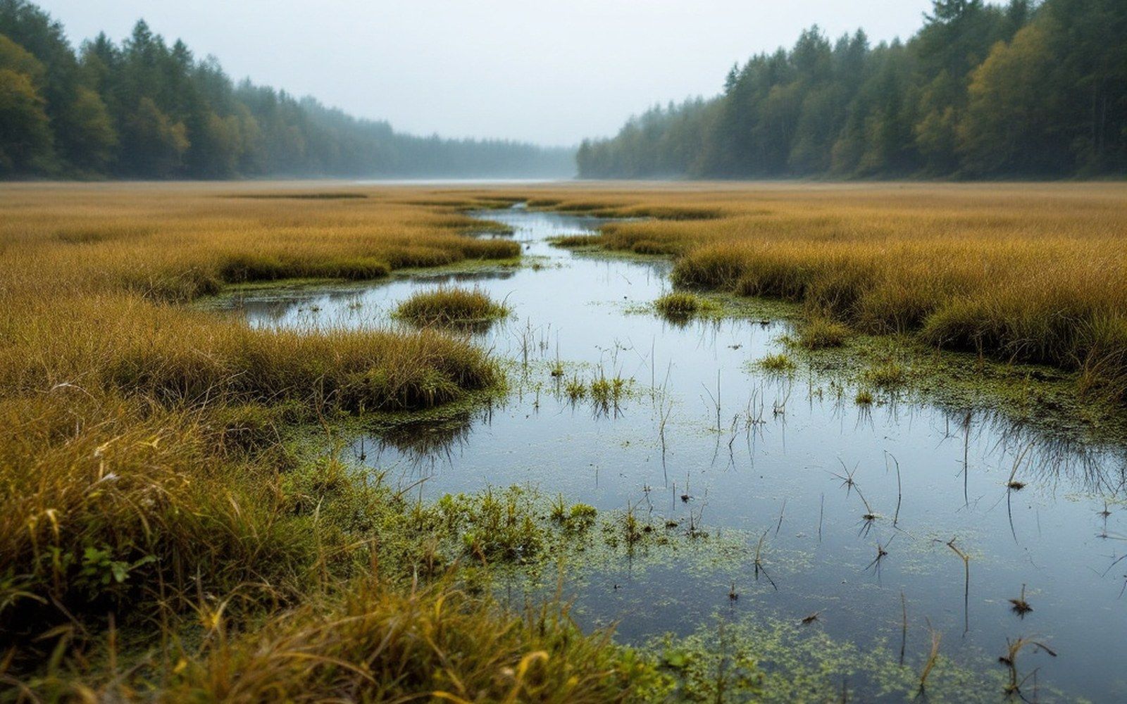
Back Bay, low water.
The contrast with developed barriers to the north is instructive. Assateague Island just across the Maryland line shows the consequences of a 1933 inlet that severed it from Ocean City. The jetties built to keep that inlet navigable interrupted the longshore drift of sand, and Assateague has narrowed and retreated unevenly ever since, its northern end, nearest the inlet, migrating landward at a rate that has overrun dunes that once stood well above the tideline. Virginia's uninhabited islands avoided that trajectory not through better engineering but through the absence of it.
Numbers worth setting apart
~14 uninhabited barrier islands in the Virginia Coast Reserve (Nature Conservancy ownership since 1969)
Relative sea level rise at Sewells Point (Hampton Roads): approximately 4.7 mm/year
NOAA long-term published record
Hog Island village of Broadwater
abandoned by the early 20th century and submerged by the mid-20th century after repeated storm damage
What lives on impermanence
The biological argument for letting the islands move is straightforward: the species that use them evolved for impermanence. Least terns and black skimmers nest on open sand, bare of vegetation, which is exactly what a recently overwashed flat provides. American oystercatchers work the wrack line and the shell hash at the tide edge. Piping plovers, a species of federal conservation concern, require the same sparse nesting substrate — unstable, frequently disturbed, offering no cover to a ground predator because it offers no cover to anything. Stable, vegetated beach is poor habitat for these birds; it is what happens after the disturbance has passed and the dunes have grown up in American beach grass.
The marshes on the lagoon side of the islands tell a similar story. As an island migrates landward, it overtops its own back-marsh; the marsh peat becomes buried under fresh sand, and the marsh edge on the lagoon side is in a state of constant renegotiation with the water. Salt marsh is not simply a static feature of the Virginia coast — it is a dynamic edge that retreats, colonises, drowns and regrows as sea level and storm frequency dictate. The Chesapeake Bay Program has tracked the net loss of tidal wetlands across the region for decades; the Virginia barrier island lagoon system is one of the few stretches where sediment supply from migrating islands actually supports marsh accretion rather than undermining it.
Farther down the tidal food web, the shallow bays behind the islands — Chincoteague Bay, Hog Island Bay, South Bay — are nursery habitat for fish and blue crab, resting water for diving ducks during migration, and the site of ongoing oyster reef restoration work. The clarity of the lagoon water, fed by the barrier strand's sand filter and flushed by tidal exchange rather than freshwater agricultural runoff, is part of what makes that suite of uses possible in the same place.
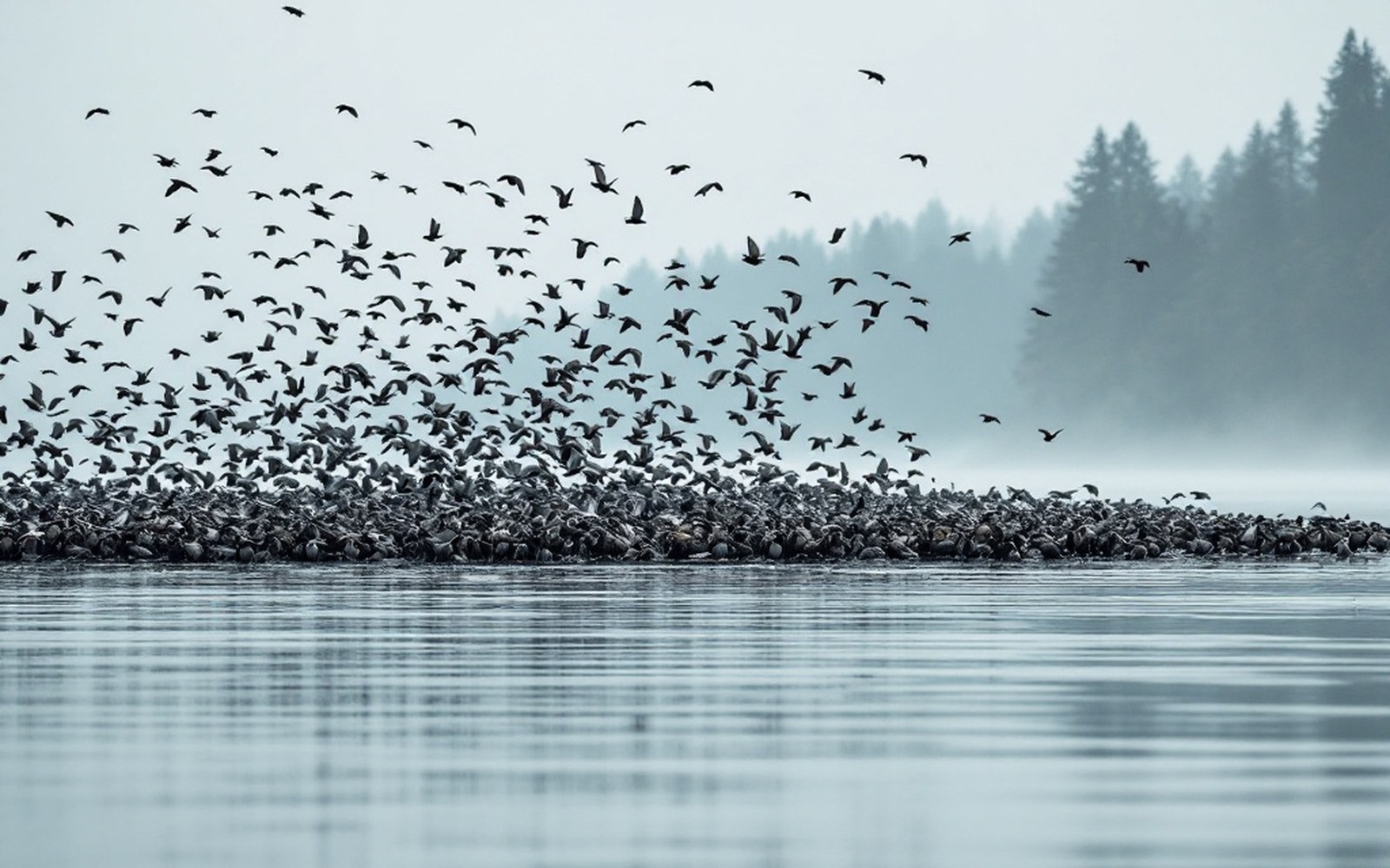
The coast funnels migration into a strip narrow enough to count from one place.
Fixed infrastructure on a moving island
The Nature Conservancy's ownership of the Virginia Coast Reserve brought an early decision that would determine the landscape: declining to rebuild the infrastructure that storms removed. The old Coast Guard stations, duck hunting clubs and lifesaving service buildings that once occupied some of these islands were not replaced when hurricanes took them. This was a management position that emerged from necessity and became principle — the recognition that any structure anchored to a moving island is temporary by definition, and that the act of defending it would require the kind of sand-fixation that kills the dynamic the islands depend on.
The clearest example of what fixed settlement costs on a moving island is Hog Island, which carried the village of Broadwater until the storms of the 1890s and early 1900s drove its population to the mainland. By the mid-twentieth century, Broadwater was beneath the tidal flat on Hog Island's lagoon side — not destroyed so much as overtaken, the island having rolled west over its own settlement. The village's fate is now cited in coastal geomorphology literature as a textbook case of barrier island rollover; the Virginia Department of Wildlife Resources and other agencies use the island's documented history when modelling future change along the coast.
Sea level rise compounds the rollover dynamic. The Virginia coast faces among the highest rates of relative sea level rise on the Atlantic seaboard, a product of ocean-level increase combined with land subsidence — the slow downward settling of the coastal plain that has continued since the last glacial maximum. At the NOAA tide gauge at Sewells Point in Hampton Roads, the long-term trend runs to roughly 4.7 millimetres per year as of the most recent published record. For the barrier islands, this means that overwash events which once reshaped an island every several decades now do so more frequently, and that the window for ecological recovery between disturbances is shortening.
Chronology
1933inlet severed Assateague from Ocean City; jetties interrupted sand drift
1890s–early 1900srepeated storms depopulate Broadwater on Hog Island
1969Nature Conservancy begins acquiring Virginia Coast Reserve islands
The uninhabited islands of the Virginia Coast Reserve sit in a narrow administrative band between Chincoteague to the north and Back Bay and False Cape to the south. What they represent — and what makes them scientifically valuable beyond the nesting counts and the tidal flat surveys — is a genuinely unarmoured coastline. Most of the Atlantic seaboard has been hardened, narrowed, or interrupted by inlets kept permanently open. Here, the inlet between Parramore and Hog Islands can shift. The overwash flats on Cedar Island can widen after a nor'easter. The island can do what an island does.
Whether that remains possible as sea level rise accelerates is an open question coastal geomorphologists are working with urgency. The answer depends less on what happens on the islands than on what happens to the sand budget that feeds them — the offshore shoals, the inlet dynamics, the sediment pathways that no management plan fully controls.
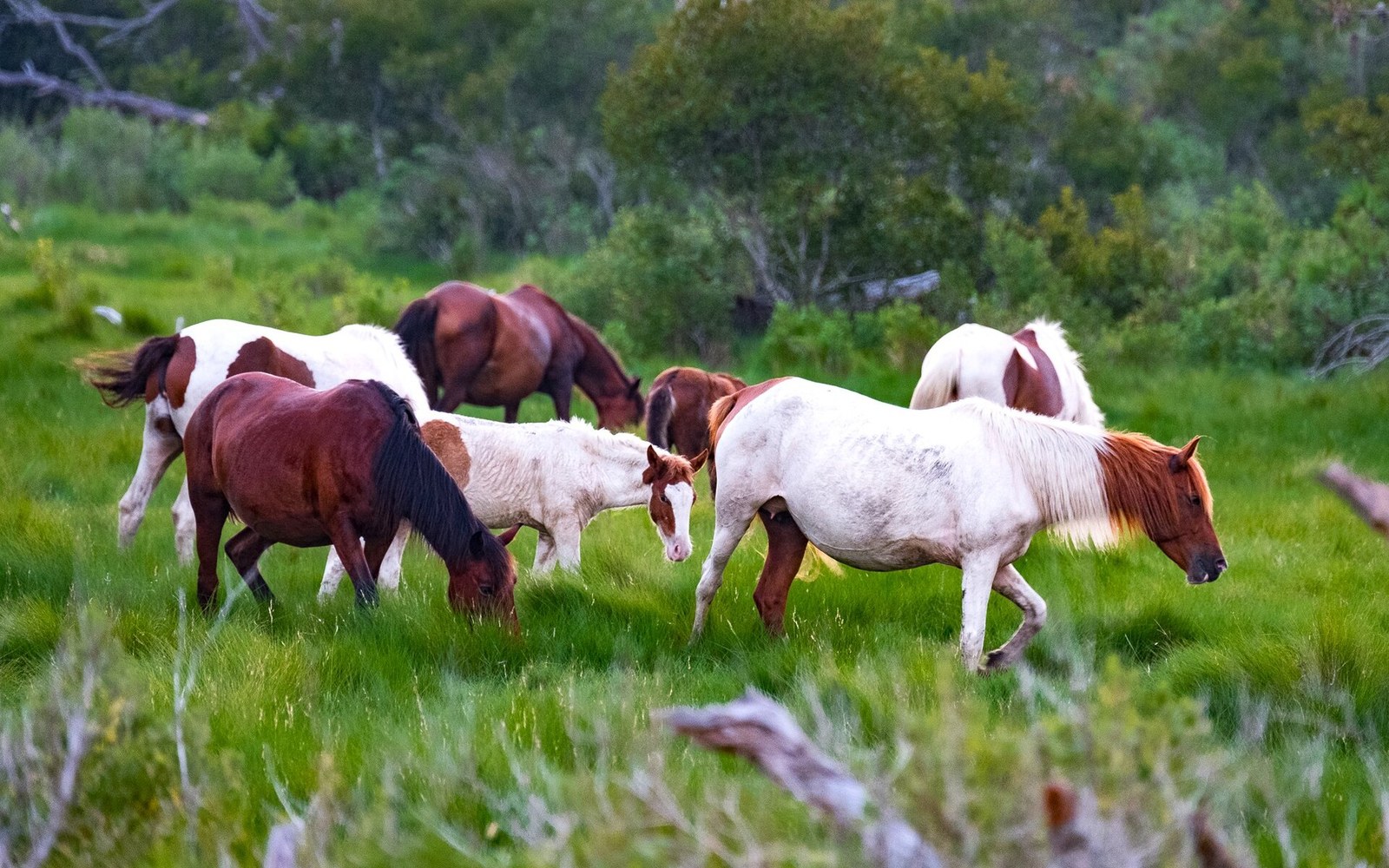
The herd is held at a set number, which is what makes the annual swim a management operation rather than a spectacle.
Photo: Virginia Chincoteague Ponies · Wikimedia Commons