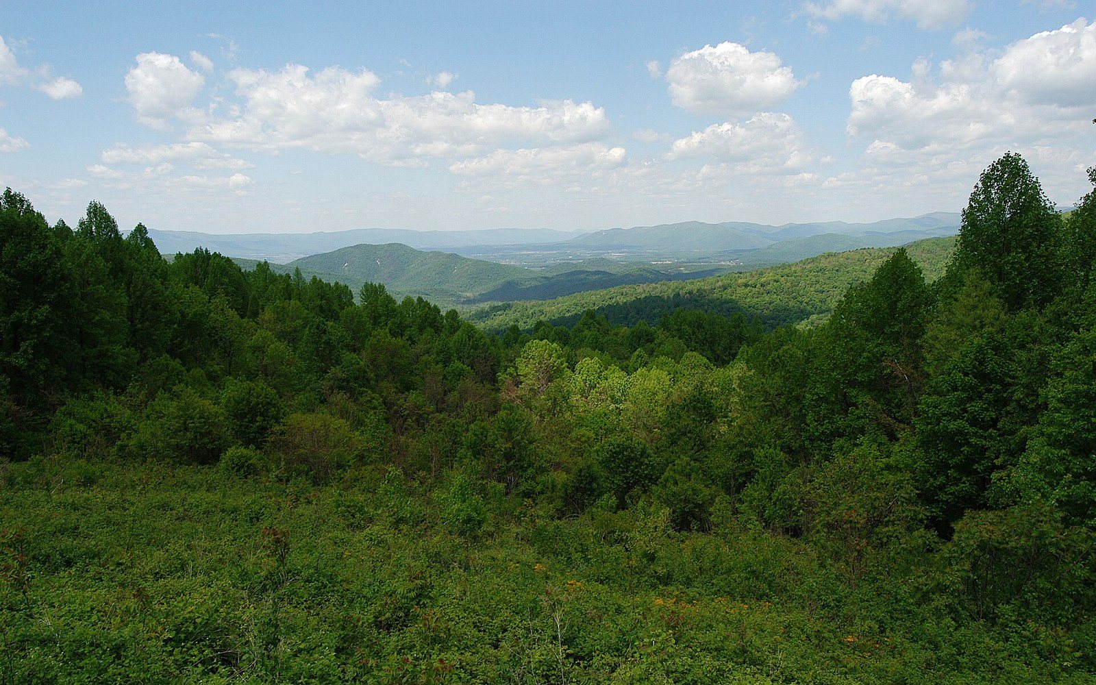
The highest ground holds a forest from a colder era
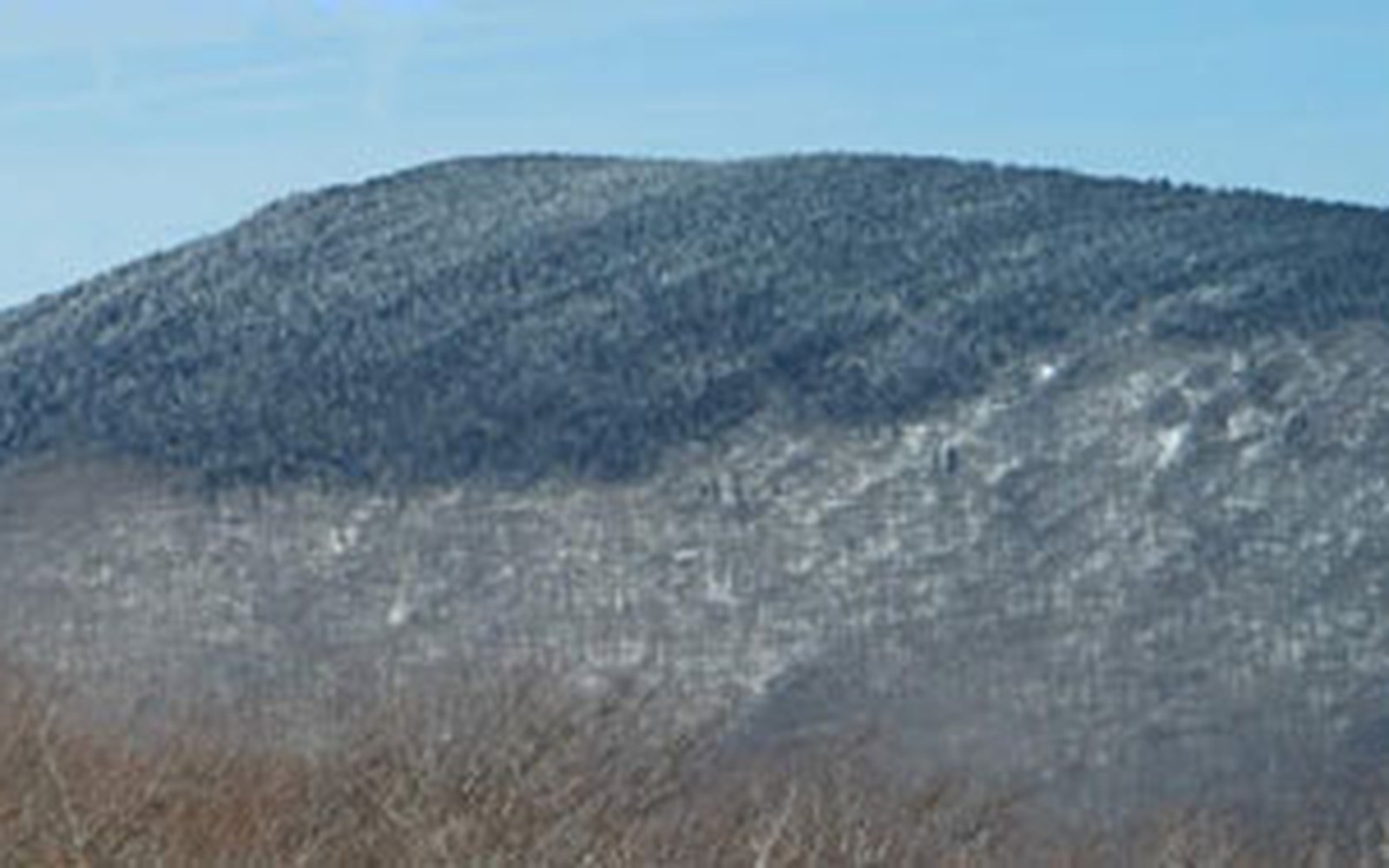
On Mount Rogers, the summit forest is not simply old. It is stranded — a fragment of boreal Virginia that survived the warming because nothing could reach it.
Where the cold stayed
Virginia's highest point sits in the southern Blue Ridge, in Grayson and Smyth counties, at 5,729 feet above sea level. That number matters less than what it means ecologically: above roughly 5,000 feet on Mount Rogers, the temperature regime is closer to New England or eastern Canada than to the Piedmont to the east. Average annual temperatures run several degrees cooler than the valley floor. Winter is long. The growing season is compressed. The soils, where they develop at all, are thin, acidic, and saturated for much of the year. Red spruce (Picea rubens) and Fraser fir (Abies fraseri) — species whose closest large populations are in the Great Smoky Mountains and, for spruce, northward through the Appalachians — find the Rogers summit livable precisely because of that compression.
This is a relic community, not a recent arrival. During the last glacial maximum, spruce-fir forest covered much of the Appalachians at lower elevations, extending well south of its present range. As the climate warmed through the Holocene — roughly the past 12,000 years — the boreal forest contracted upward and northward. On most ridges, it vanished. On Mount Rogers, Whitetop Mountain immediately to the southwest, and a few other high points in the Iron and Unaka ranges straddling the Virginia–Tennessee–North Carolina border, it persisted on the summits because those summits stayed cold enough. The result is an island — not in water, but in climate — surrounded by northern hardwood forest lower on the slopes, which is itself surrounded by mixed Appalachian forest below that.
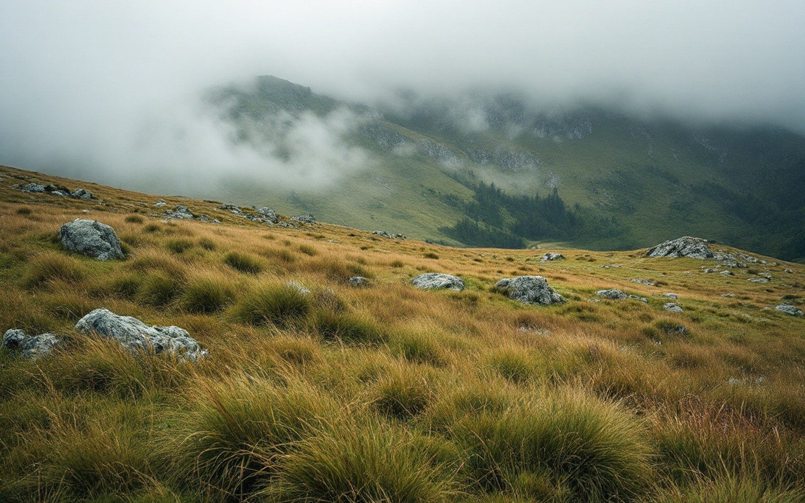
An open bald.
The spruce-fir community on Rogers is not large. The forest occupies the uppermost several hundred acres in fragmented patches, thickening where cold air pools and drainage is poor, thinning where slope and aspect bring slightly more warmth. Red spruce dominates. Fraser fir is present but less abundant here than in the Smokies; on Rogers, fir grows most densely near the actual summit and in the wet north-facing hollows. Between the forest patches lie open areas — balds, some of them grassy — which on Grayson Highlands just to the south are grazed by feral ponies and help maintain their open character. The forest-bald mosaic is part of what makes this landscape read as unfamiliar to a visitor coming up from the valley.
Elevational context
5,729 ft
Mount Rogers summit, highest point in Virginia
~5,000 ft
approximate lower limit of the spruce-fir community on Rogers
Spruce-fir forest once extended to lower elevations across the Appalachians during the last glacial maximum; retreated upward as Holocene warming proceeded
What the forest contains
Walk into the Rogers spruce-fir and the sensory shift is immediate. The canopy closes and dims. The understory drops away. Mosses and liverworts — genera like Sphagnum, Dicranum, and Bazzania — carpet the floor and the bases of the trees in a continuous green mat that holds water like a sponge. Fallen logs disappear under this layer within a few years of toppling. The air smells different: resinous, cool, faintly fungal. It is a smell that belongs much farther north.
The birds belong farther north too. Red-breasted nuthatches work the bark of the spruces in winter and breed here. Blackpoll warblers pass through during migration, but a handful of species that would otherwise require travel to Canada to breed — red crossbills, common ravens, and occasionally golden-crowned kinglets — use the Rogers summit community as breeding habitat in Virginia. The winter wren, a tiny dark bird that threads the blow-downs, is a characteristic species. These are not vagrant visitors; they are residents of an ecological address that happens to exist inside a mid-Atlantic state only because the elevation kept the address open.
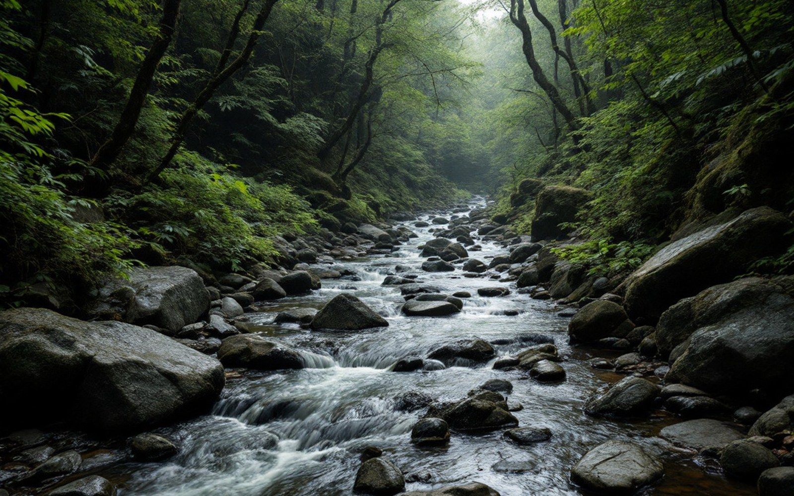
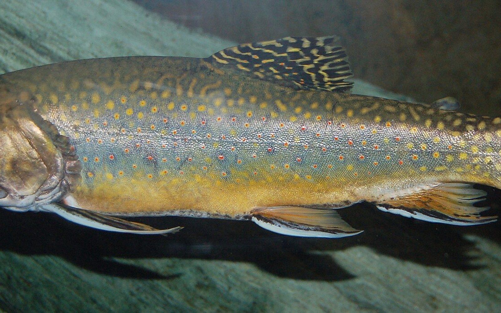
Closed canopy over water is the cheapest cooling system in the state, and the only one brook trout have.
The invertebrate fauna has received less attention than the birds, but endemic and near-endemic species occur here and in the associated southern Appalachian spruce-fir communities. The spruce-fir moss spider (Microhexura montivaga), a tiny mygalomorph spider, is federally listed as endangered and depends on the mat-forming moss layer in spruce-fir forests across the southern Appalachians — a reminder that the U.S. Fish & Wildlife Service's assessment of this community links its fate directly to the fate of the moss mat itself.
Pressures from above and below
The Rogers spruce-fir is threatened by the same forces affecting its counterpart communities across the southern Appalachians. The balsam woolly adelgid (Adelges piceae), a non-native insect introduced to North America in the early twentieth century, attacks Fraser fir by feeding at the base of needles and injecting saliva that disrupts water and nutrient transport. On Roan Mountain and in the Smokies, it has killed a large proportion of mature firs; on Rogers, the infestation is present and ongoing, though the fir population here was never as dense as in the Smokies and the dynamics differ. Dead fir snags standing in the moss mat are part of what the landscape looks like now, and have been for decades.
Species at a glance
Red spruce (Picea rubens)
dominant canopy tree; more abundant than fir on Rogers
Fraser fir (Abies fraseri)
less abundant than spruce on Rogers; affected by balsam woolly adelgid
Spruce-fir moss spider (Microhexura montivaga)
federally endangered; depends on intact moss mat
Red-breasted nuthatch, red crossbill, winter wren, golden-crowned kinglet
boreal bird species breeding or resident on the summit
Climate change adds a different pressure: the cold envelope that defines this community is itself narrowing. As mean temperatures rise across the Appalachians, the elevation at which spruce-fir conditions occur effectively climbs. A community already restricted to the uppermost acres of an already-high summit has no higher ground to retreat to. Research synthesized by the Southern Appalachian Assessment documented the spruce-fir type as among the most climate-vulnerable forest communities in the region precisely because its range is already at an absolute ceiling.
Red spruce shows some resilience. Unlike Fraser fir, it is not targeted by the adelgid, and restoration plantings of spruce have been undertaken across degraded high-elevation sites in West Virginia and North Carolina by programs coordinated through the Nature Conservancy and Forest Service partnerships. Mount Rogers itself sits within the Mount Rogers National Recreation Area, managed by the George Washington and Jefferson National Forests, which gives the summit forest some institutional protection — though no management regime fully offsets a warming baseline.
Threat summary
Balsam woolly adelgid
non-native insect killing mature Fraser fir across the southern Appalachians
Climate warming
the cold envelope defining the community is shrinking upward; no higher ground remains
Both pressures documented in the Southern Appalachian Assessment (USFS)
What the Rogers summit carries, then, is not simply a stand of unusual trees. It is a record of the Pleistocene climate written in living wood and moss, still legible above 5,000 feet because the mountain kept the pages from scattering. The red spruce are old enough and the moss mat continuous enough that the community still functions: cold, dim, sodden, and structurally unlike anything else in the state. How long that remains true depends on forces that no single county or national forest can control.