A Drained Swamp That Is Being Deliberately Re-wetted
Two centuries of drainage turned the Great Dismal into a fire hazard; the work now is reversing that, one blocked ditch at a time.
Two centuries of ditches drained the peat. Management now is largely a matter of putting the water back.
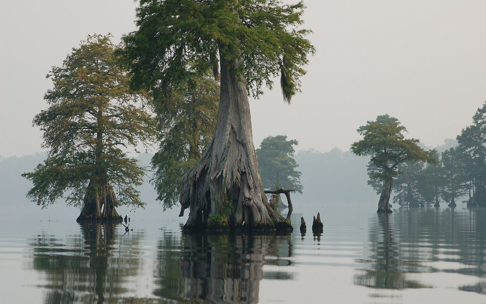
Photo: Photo of the Week - Great Dismal Swamp National Wildlife Refuge (VA) · Wikimedia Commons
What Drainage Did to the Swamp
The Great Dismal Swamp sits across the Virginia–North Carolina line, a remnant of a far larger wetland complex that once covered perhaps a million acres. What remains in Virginia — the core of which is managed as the Great Dismal Swamp National Wildlife Refuge — is roughly 112,000 acres, and most of it carries the scars of systematic drainage that began in the eighteenth century and continued well into the twentieth.
The work started with ambition. George Washington was among the early investors in the Dismal Swamp Land Company, formed in the 1760s with the goal of converting the wetland to farmland and harvesting its timber. The company dug Washington Ditch, and it still runs through the refuge today. Over the following two centuries, a grid of drainage canals — eventually more than 140 miles of them — pulled water off the peat and lowered the water table enough to make the interior accessible to loggers. Atlantic white cedar and bald cypress came out first; then the mixed forest behind them. By the time logging largely ended in the twentieth century, the great canopy trees were gone from most of the refuge, and the peat itself had been compromised.
Ditched since 1763.
Peat matters here in ways that are easy to underestimate. The Dismal's peat, in some places more than ten feet deep, accumulated over thousands of years as plant matter decayed slowly in saturated, low-oxygen conditions. It is both a carbon store and a moisture sponge: when it is wet, it is nearly incombustible; when it dries, it becomes a fuel. Dried peat can burn below the surface for weeks or months, smoldering through root systems and consuming the very substrate the forest stands on. A wet swamp rarely burns catastrophically. A drained one does.
Key figures
Original extent
roughly 1 million acres across Virginia and North Carolina
Current Virginia refuge size
approximately 112,000 acres managed by U.S. Fish and Wildlife Service
Drainage network
more than 140 miles of canals dug from 18th century onward
Peat depth
up to ten feet or more in interior sections
2008 fire
burned for over a month; one of the largest in modern refuge history
Water control structures
hundreds installed since the late 1990s
The Long Fire Problem
The drainage network that made the swamp accessible also made it dangerous. Major fires have moved through the Dismal repeatedly since the mid-twentieth century. A 2008 fire burned for more than a month and consumed thousands of acres, generating smoke visible from satellite imagery and reaching communities as far as the Chesapeake Bay corridor. The Virginia Department of Wildlife Resources and the refuge's managing agency — the U.S. Fish and Wildlife Service — both treat fire risk as a direct function of the water table. Low water table equals dry peat equals fire risk. The equation is not complicated, but reversing the drainage infrastructure that created the problem is slow, expensive work.
Subsurface peat fires — the kind the Dismal experiences during drought — cannot be fought conventionally. Water bombers and fire lines are largely irrelevant when the fire is underground. The practical suppression method is raising the water table, which is itself an argument for doing so before the fire season starts. The 2011 Lateral West Fire and the 2008 South Lateral Fire together demonstrated that a drained Dismal is a recurring liability, not a stable landscape.
Blocking Ditches, Raising Water
The current management strategy, developed by the refuge in partnership with organizations including the Nature Conservancy, centers on water control structures placed in the drainage ditches. The principle is simple: block the ditch and the water that used to drain out stays in. In practice, the structures range from simple wooden boards called stoplog weirs to more substantial earthen and concrete plugs. Hundreds of them have been installed across the refuge since the late 1990s, with the pace of installation increasing after the large fires demonstrated what was at stake.
A substantial bear population sits within an hour of one of the most densely settled stretches of the coast.
The goal is not to fill every ditch — some are now used as water-delivery infrastructure rather than drainage — but to raise the average water table across the peat, particularly in the interior sections of the refuge that dried most severely. Hydrologists monitoring the project track water table depth across the seasons, and the refuge has documented measurable improvements in average wetness in areas where multiple structures have been installed. That said, the swamp remains vulnerable during drought years: the water table fluctuates, and long dry summers can pull levels back down despite the structures.
Habitat recovery tracks the hydrology. Sections of the refuge that have held more water for longer are seeing the return of characteristic Dismal vegetation: the shrub layer of fetterbush and swamp azalea, the sphagnum moss that builds peat in active wetlands, and — more slowly — the Atlantic white cedar that once dominated large portions of the interior. Cedar regeneration is a long-term project; the trees grow slowly and the seedbed conditions they need are particular. Refuge managers have supplemented natural recruitment with planting in some sections.
What Lives Here Now
Even in its altered state, the Dismal holds a remarkable fauna. The swamp's black bear population is one of the densest in the eastern United States, sustained by the remoteness and the mast-producing forest that has grown back over logged areas. Neotropical migratory birds use the swamp as both a breeding ground and a stopover; the interior holds breeding populations of species that require large, undisturbed blocks of forest, including prothonotary warbler, Swainson's warbler, and Wayne's warbler, a subspecies of black-throated green warbler with a range centered on Atlantic white cedar swamps. The Dismal is one of the most important sites on the Atlantic coast for this bird.
Chronology
1760sDismal Swamp Land Company formed; Washington Ditch begun
Late 1800s–early 1900speak logging period removes cypress and cedar
Late 1990s onwardwater control structure program begins in earnest
2008South Lateral Fire burns tens of thousands of acres; underscores urgency of re-wetting
Ongoingpeat hydrology monitoring, Atlantic white cedar restoration planting
Lake Drummond, the shallow natural lake at the center of the refuge, has no obvious surface inlet — the water source is precipitation filtered through the peat — giving it the dark, tannic quality that has defined it for as long as observers have written about it. The same peat chemistry that colors the water also makes it hostile to many parasites and bacteria; water from the lake was reportedly carried on ships as a long-keeping drinking supply.
The swamp's human history runs through its ecological story at every point. For decades before the Civil War, the dense interior served as refuge for people escaping enslavement. The geography that made drainage difficult made pursuit difficult too, and communities persisted in the interior beyond the reach of the plantation economy surrounding it. The same water that managers are now working to restore was, for those people, the margin of survival. Putting it back is a different act than it might first appear.
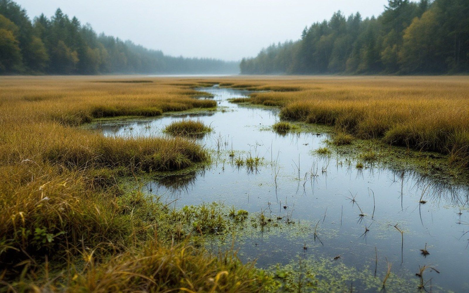
Marsh like this is a fuel stop. The birds using it this week are a thousand miles away by the next one.